Walkers, Tajikistan
Spending time in Tajikistan means “gaining altitude”! The country’s land is 93% covered by mountains, with more than half of the territory situated at least 3,000 meters above sea level. The highest point is the Ismail Samani peak, reaching an impressive 7,495 meters.
The two main massifs are the Pamir, famous since the days of the Silk Road, and the Alay Mountains, which run along the northern part of Tajikistan and the southern part of Kyrgyzstan.
Hiking through the Alay Mountains, valley after valley and pass after pass, allows you to meet the Tajik shepherds who live there. These nomads move with the seasons alongside their herds. Their traditional dwellings are called “Kappa”—wooden tents covered with animal skins. There are also permanent villages where stone and cob houses are huddled together for protection against the harsh winters.
Through these photographs, I invite you to discover the mountainous landscapes of Tajikistan, its turquoise glacial lakes, and the people who call these heights home. These images were captured in the Fansky Mountains, part of the Alay range.
Location of the Fansky Mountains in Tajikistan
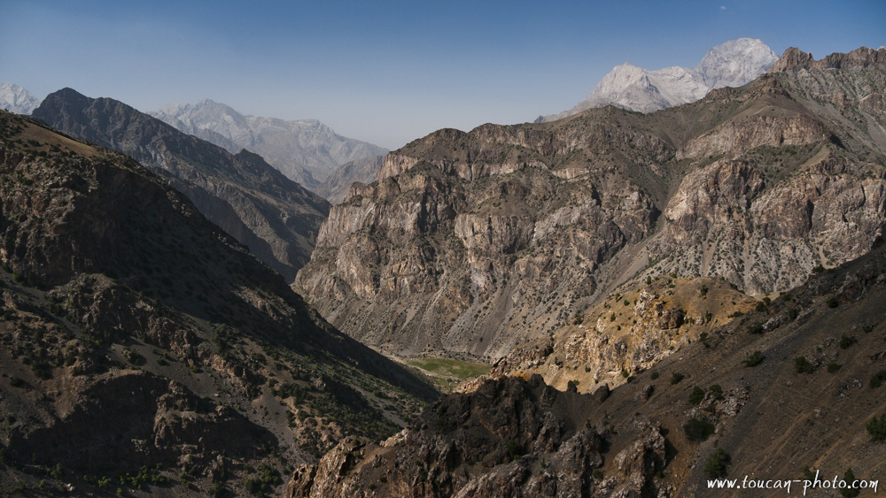
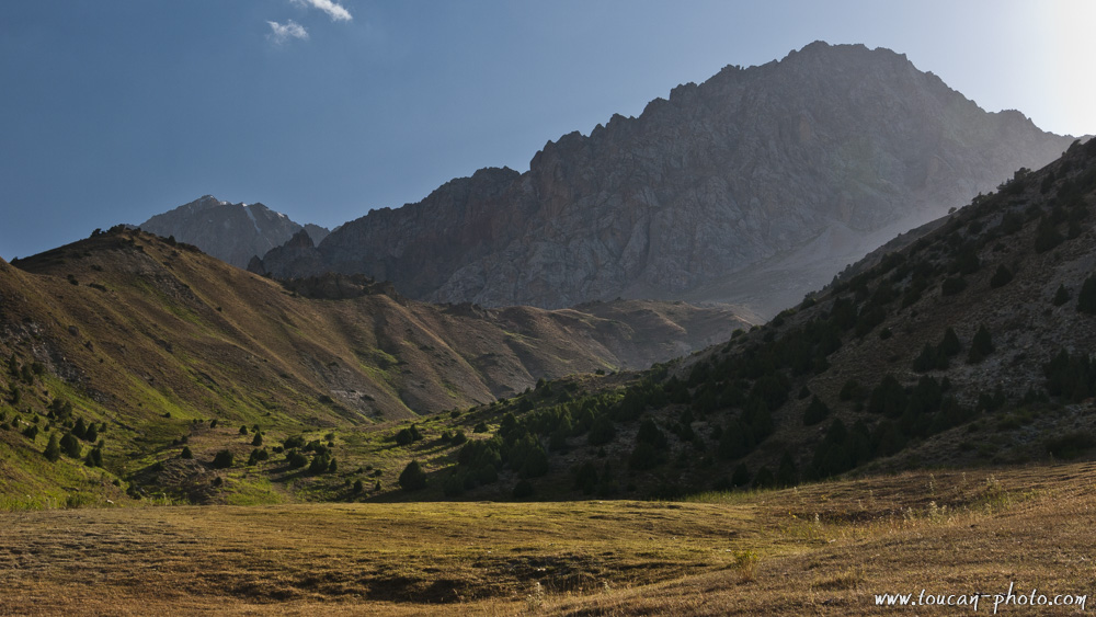
Mountain panorama
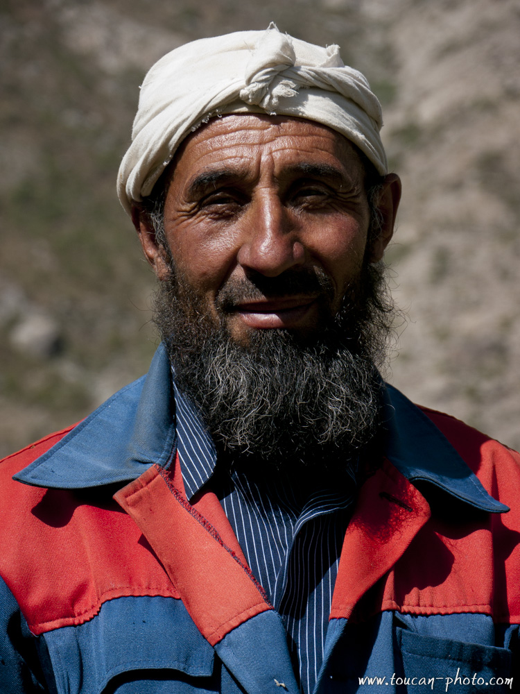
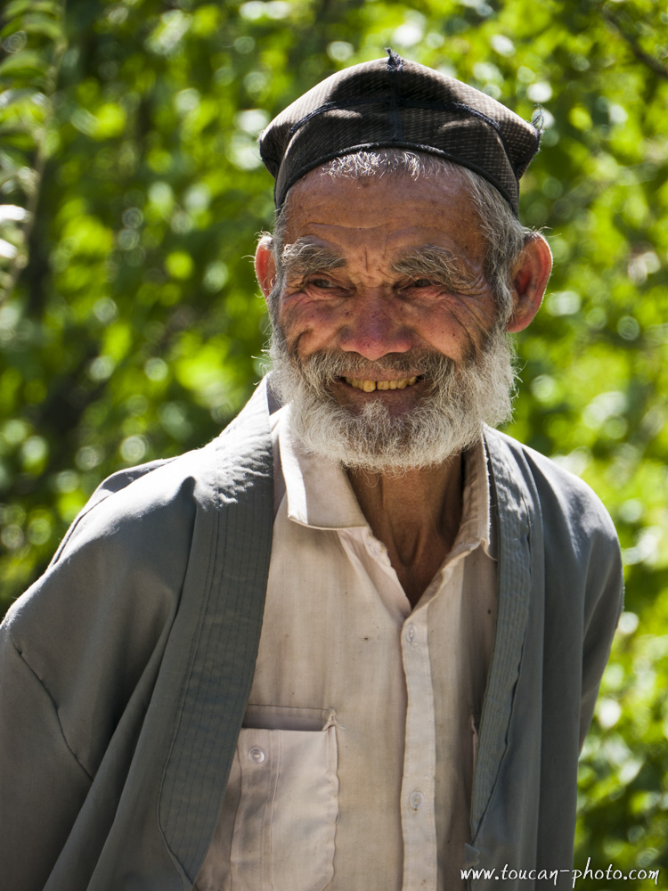
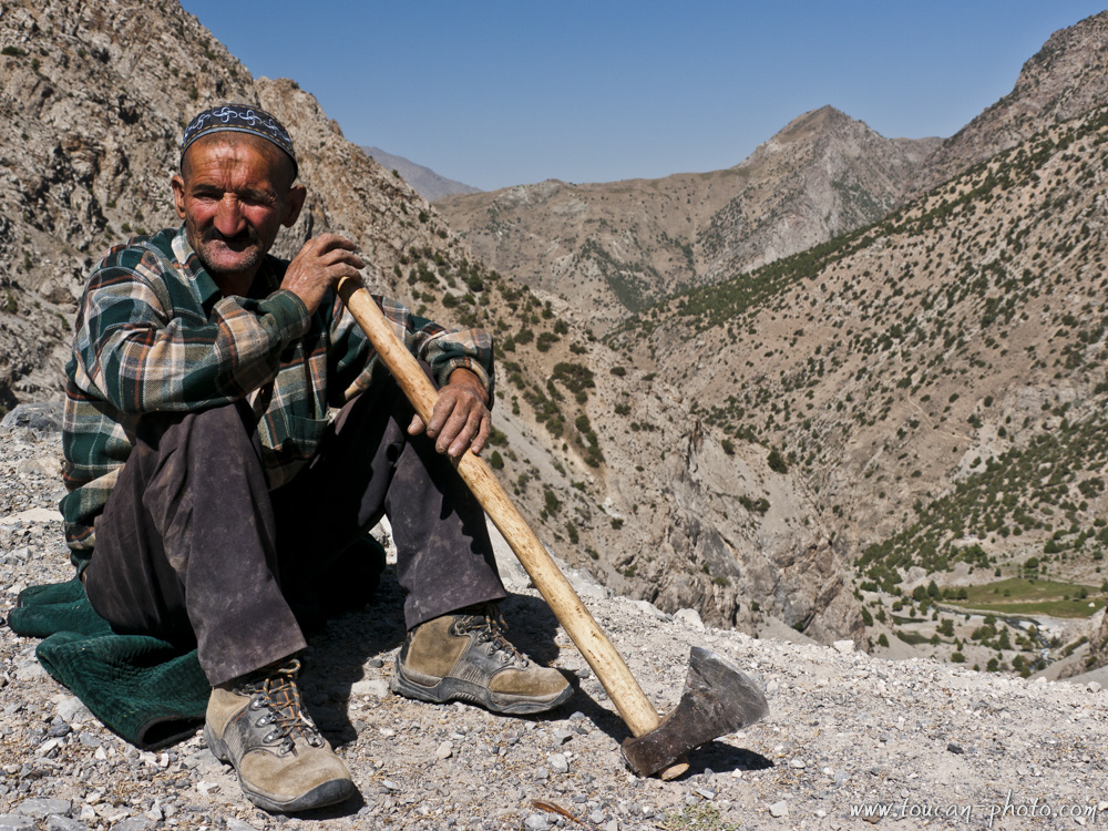
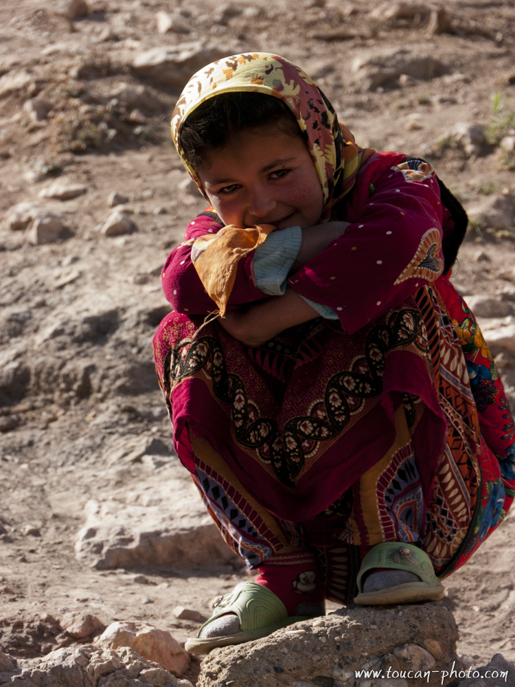
Tajik pride
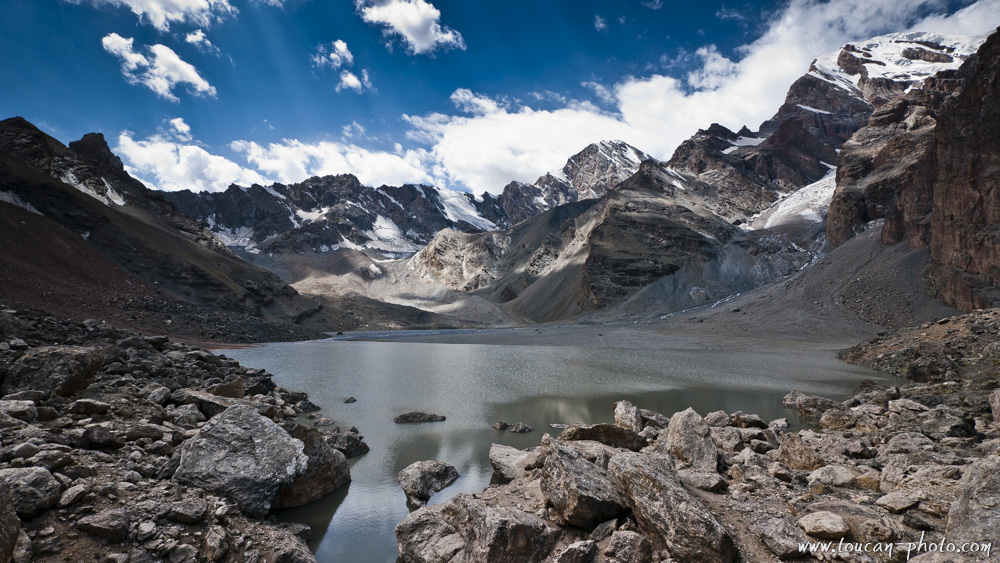
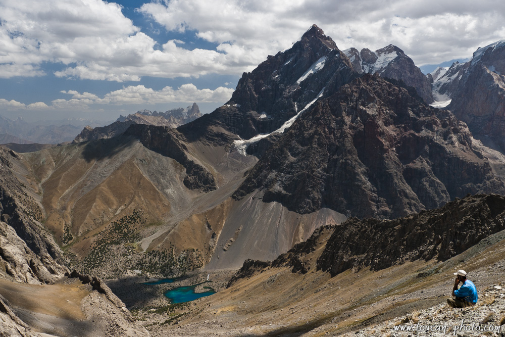
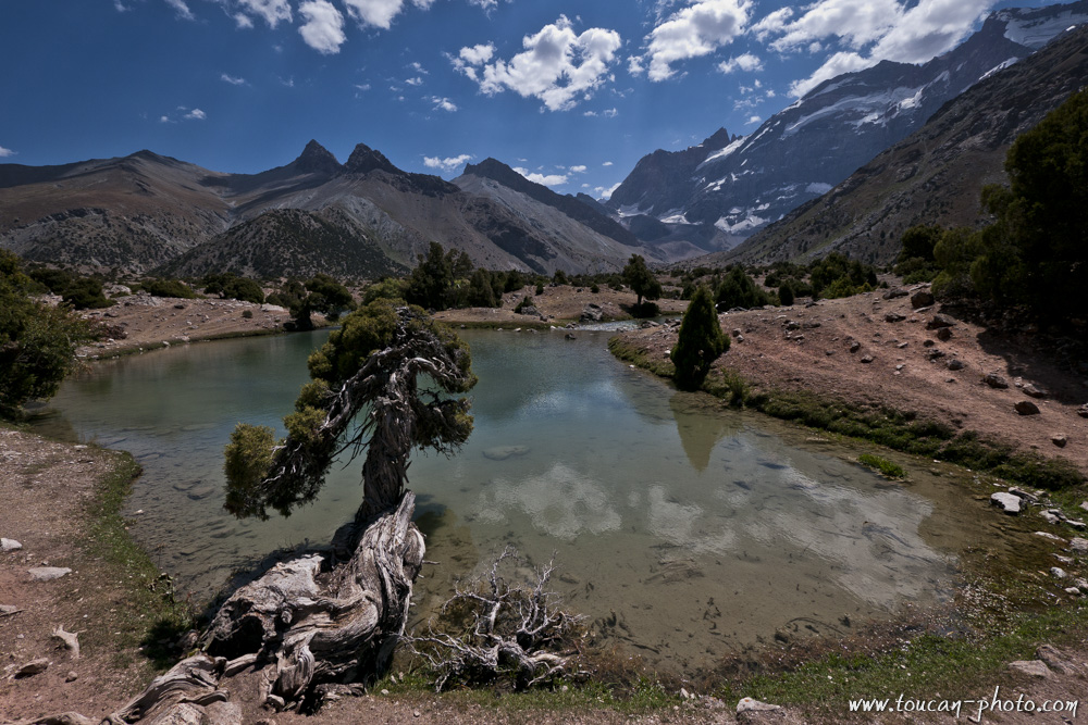
Glacial lake of Moutny (3500m), and Chimtarga (5489m)
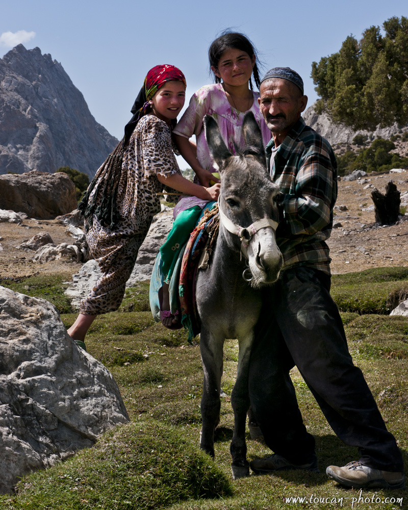
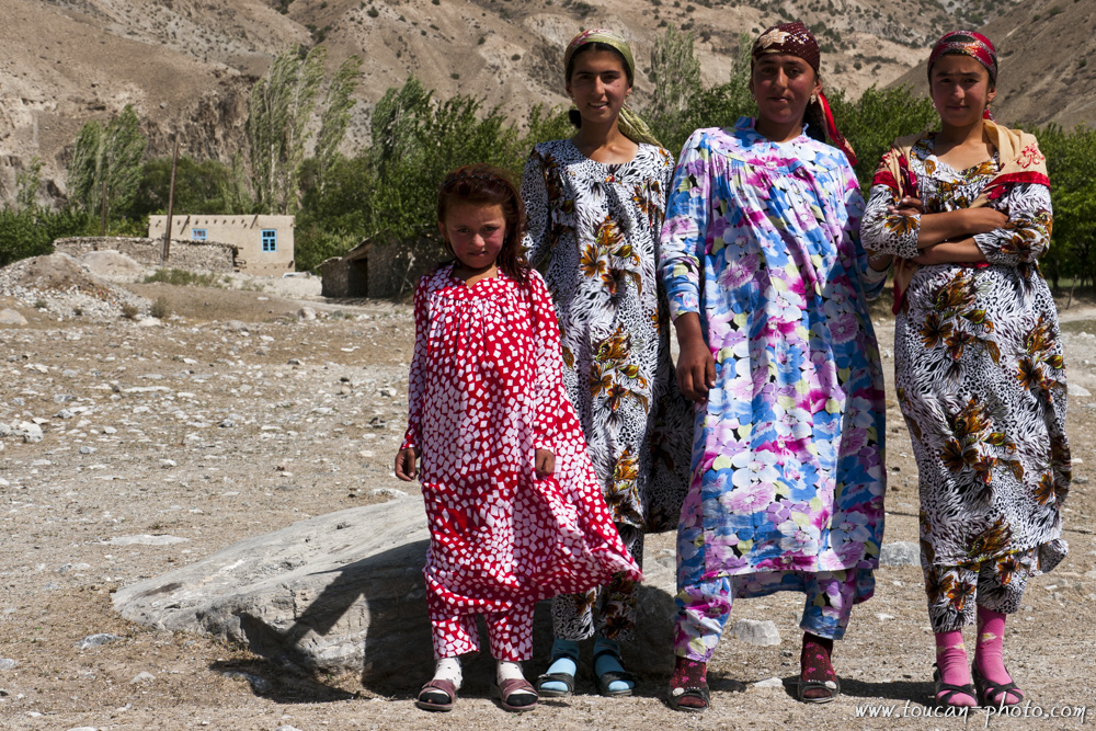
Sahid and his daughters
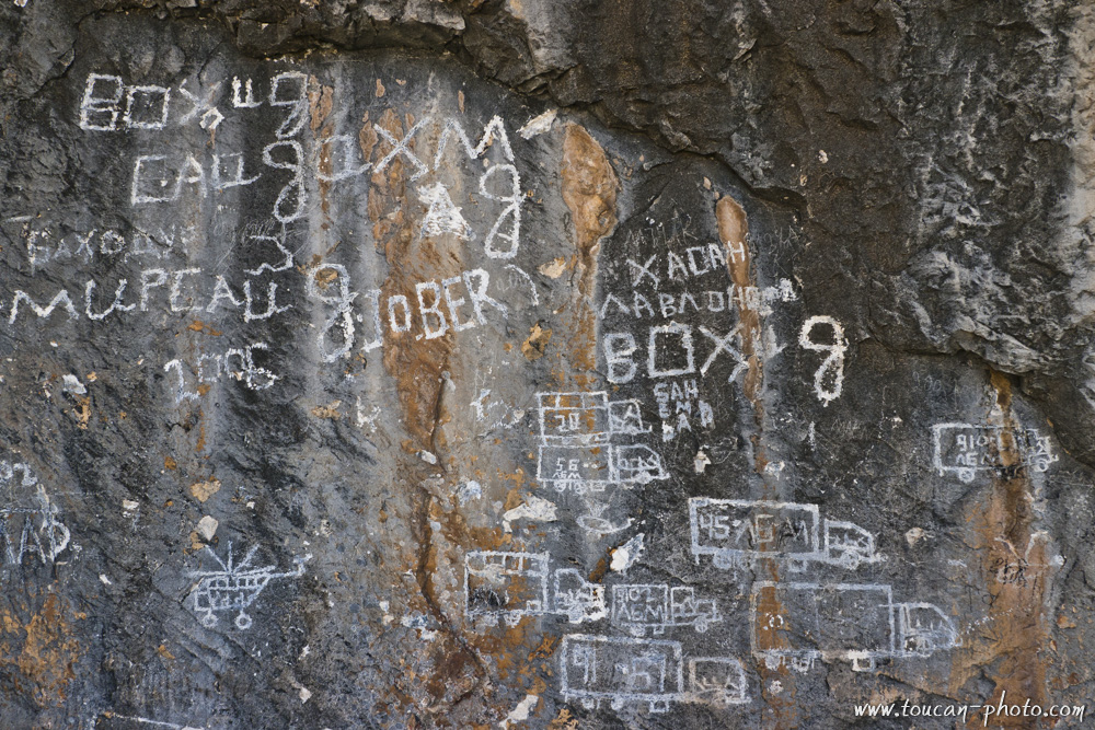
Graffiti
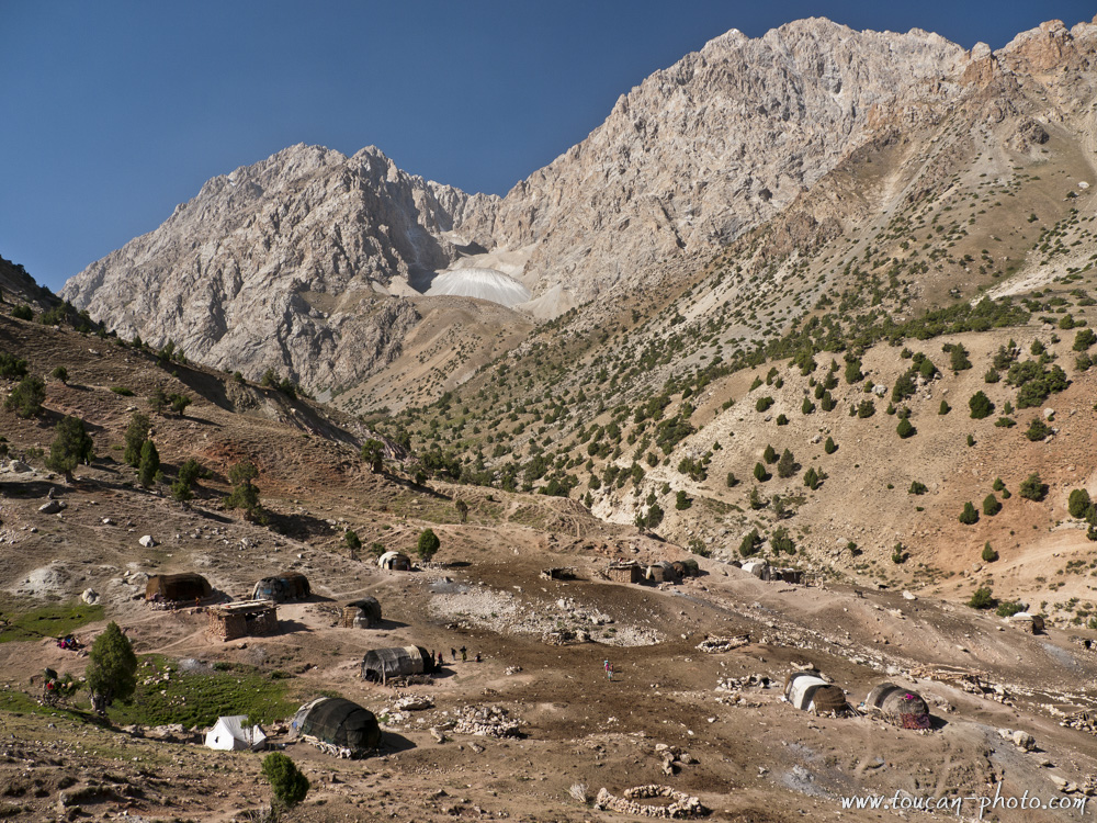
Nomadic village of Vole ethnic group, Sarmat valley
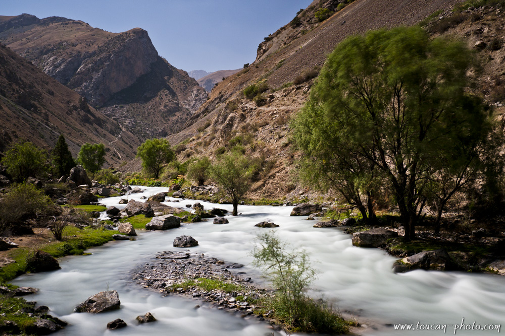
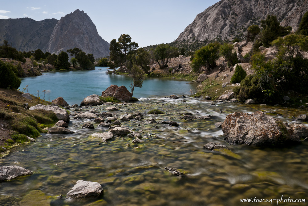
Reude river
Tajik smile
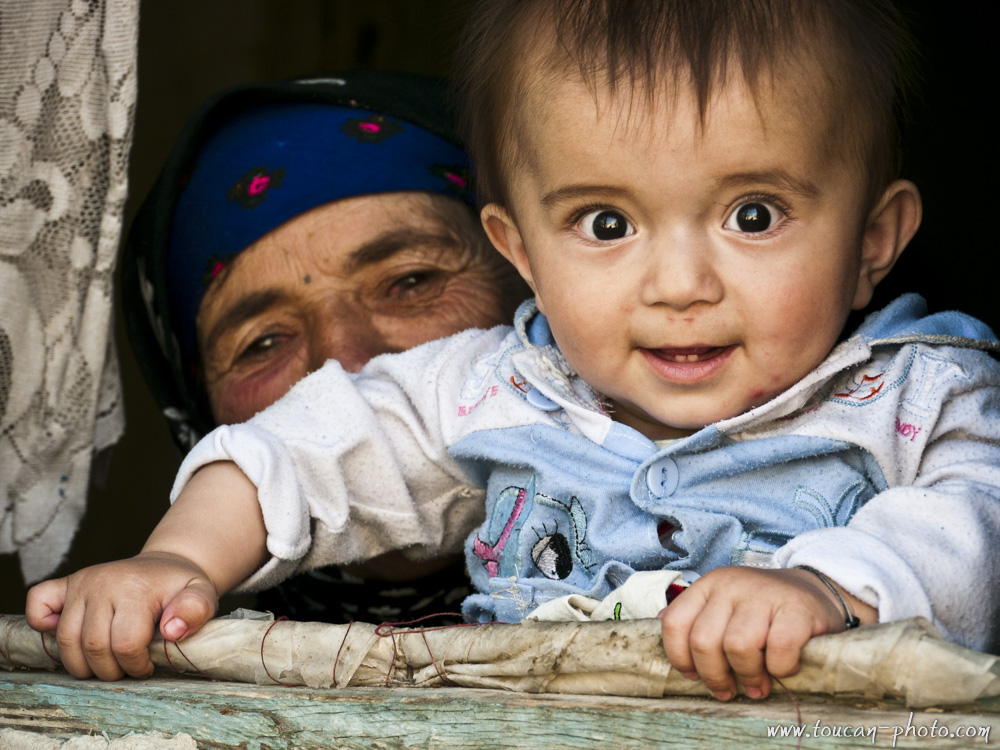
Tajik curiosity
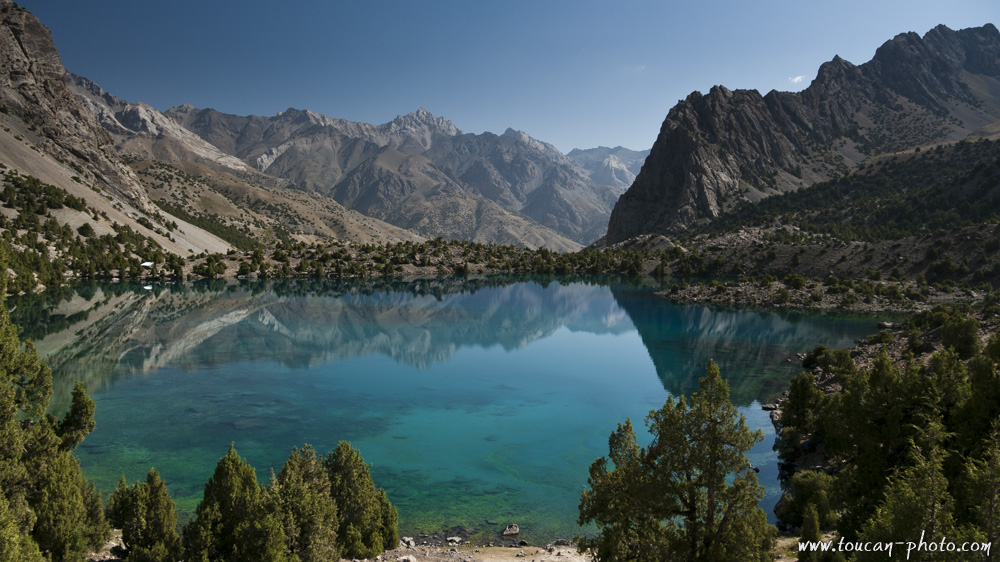
Culicalon lake (2880m)
Mountain of war
Sight of view to Chabdara (5049m) from Aloudine mountain pass (3840m)
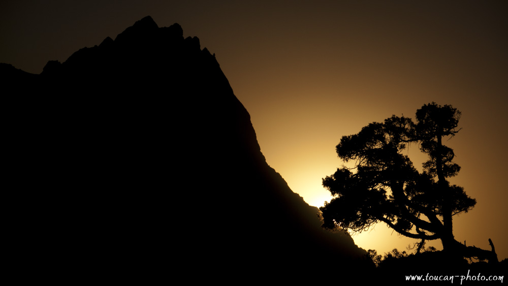
Sunset on the war mountain
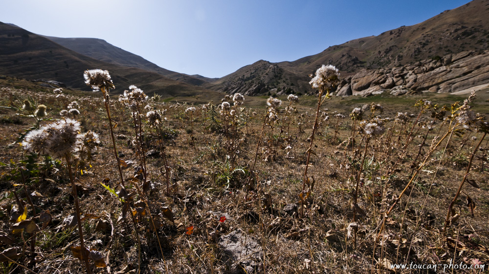
Dried grass and pasture
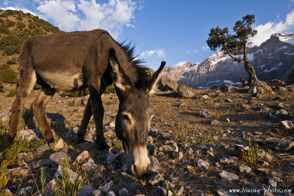
A donkey, in front of Chimtarga (5489m)
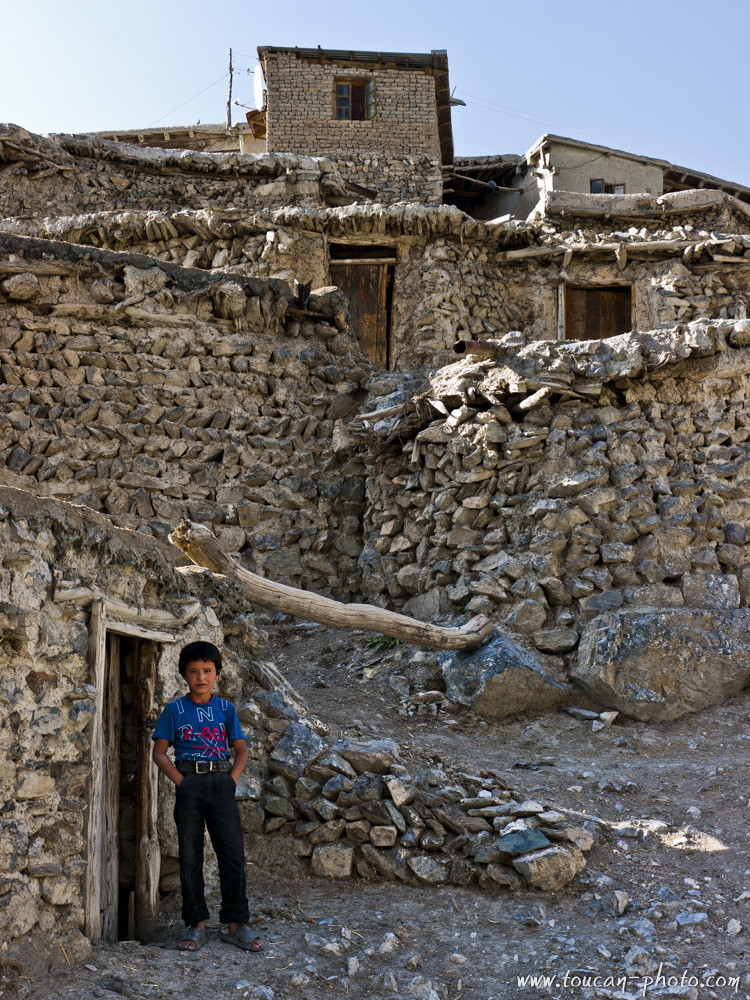
A mountain huddled houses village
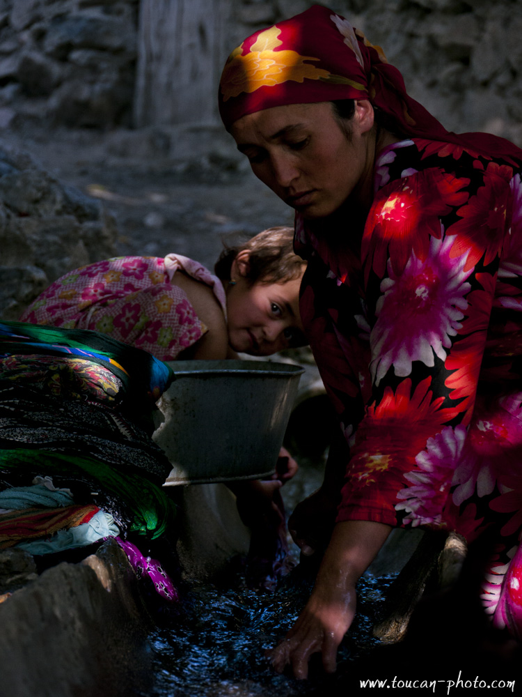
Mother and daughter
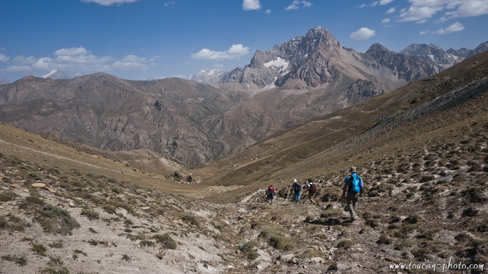
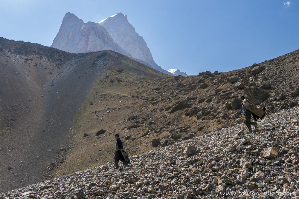
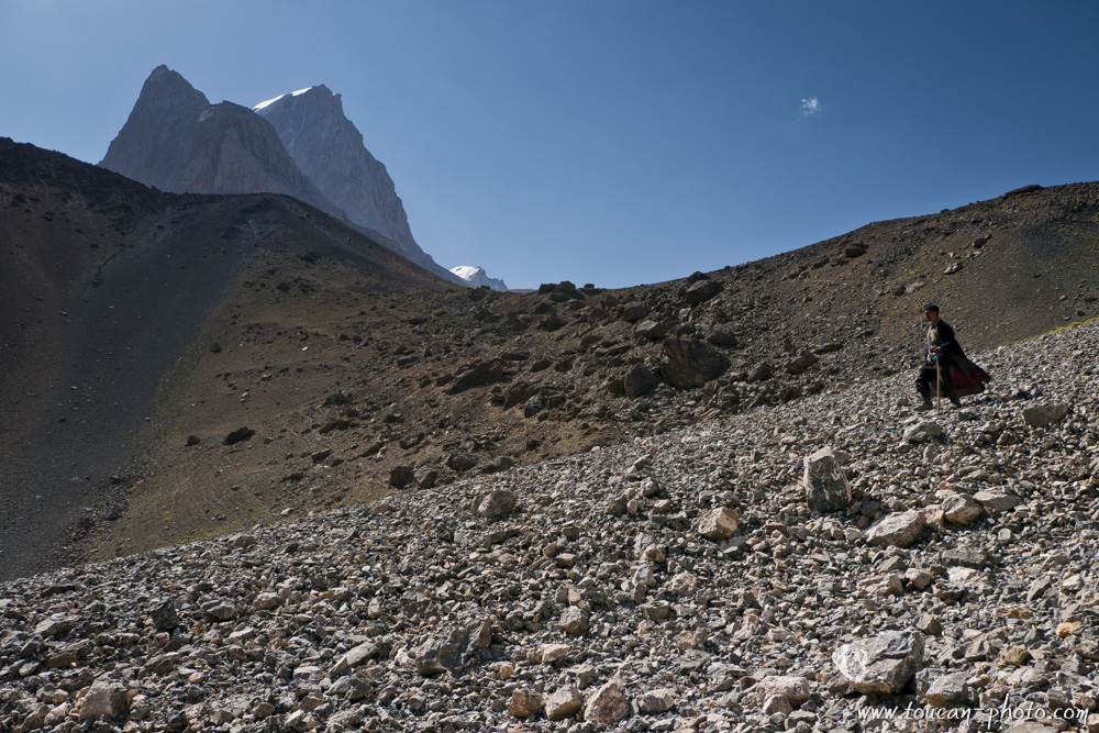
Hikers in the mountain
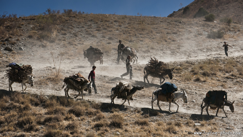
A donkey caravan moving in
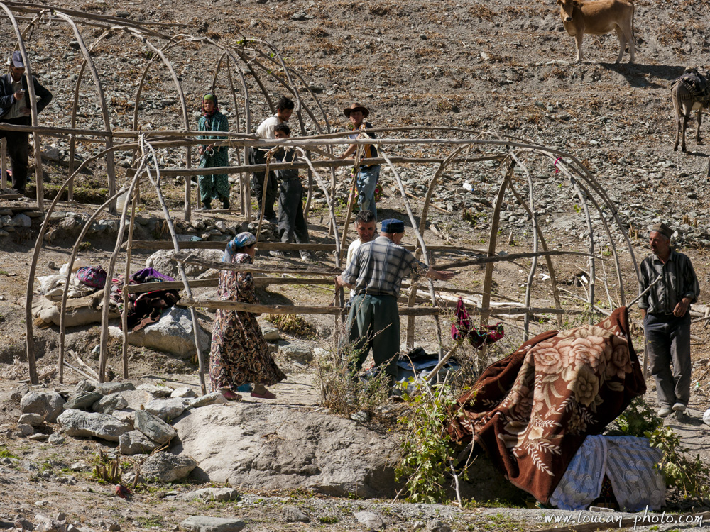
Few hours are enough to erect a kappa
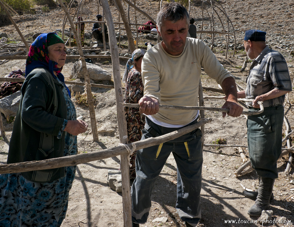
Kappa assembly
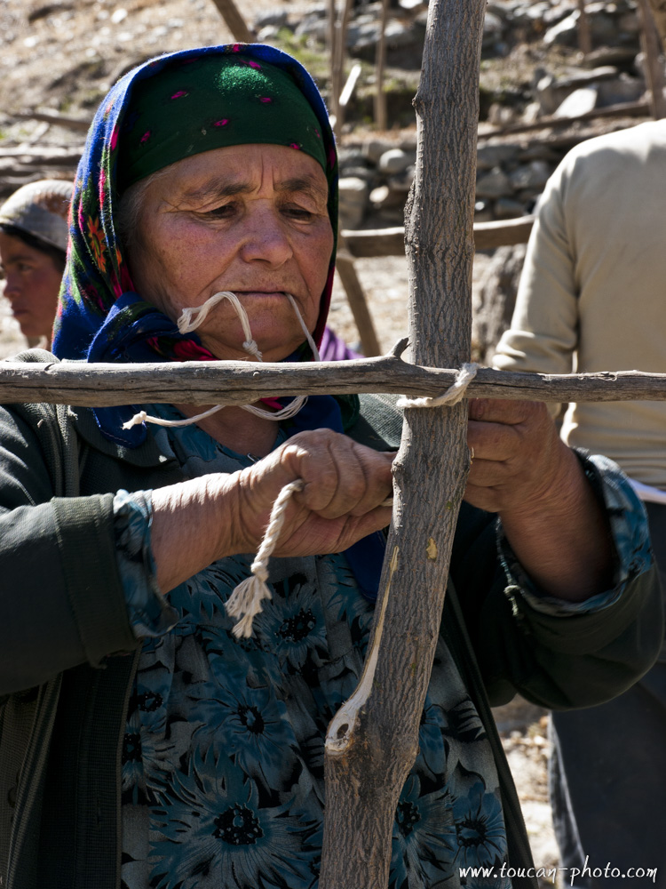
Specific actions during the assembly of a Kappa
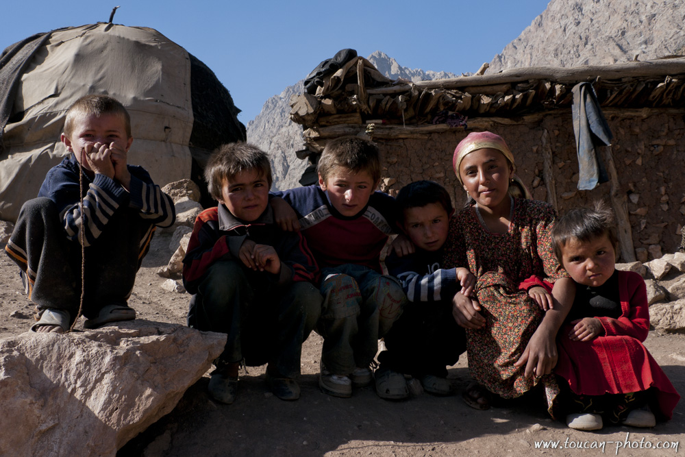
Kids of Vole ethnic group
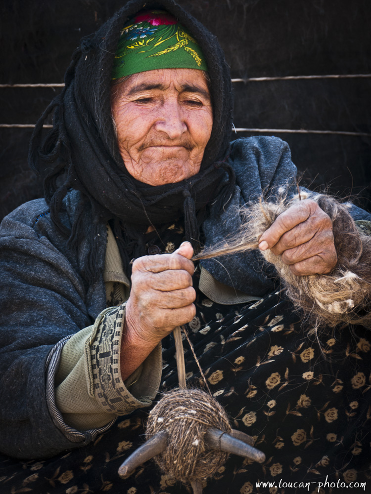
A spinner at work
Pasture valley
Herdsman walk the mountain
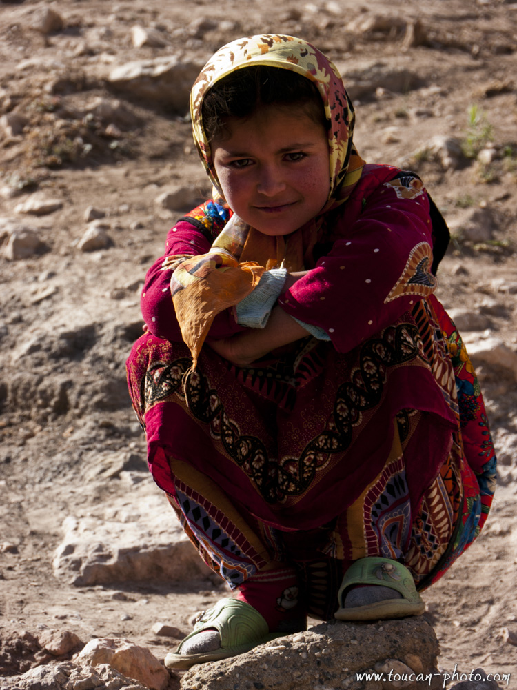
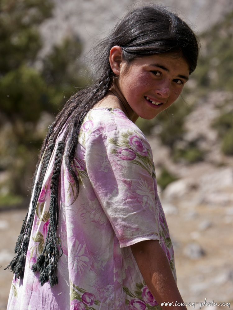
Young girl
Sahid
Inhabitants in the valley Archi Maidan
Zamira
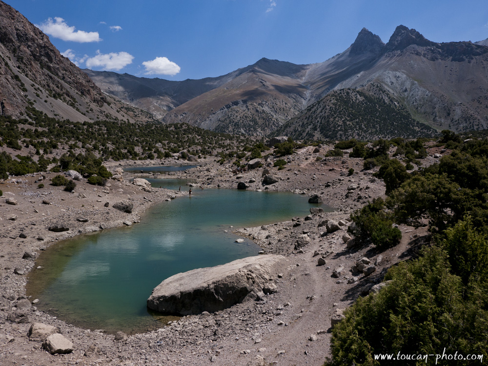
Culicalon lakes system
Culicalon lake (2880m)
Aloudine lake (3700m)
 Tadjikistan
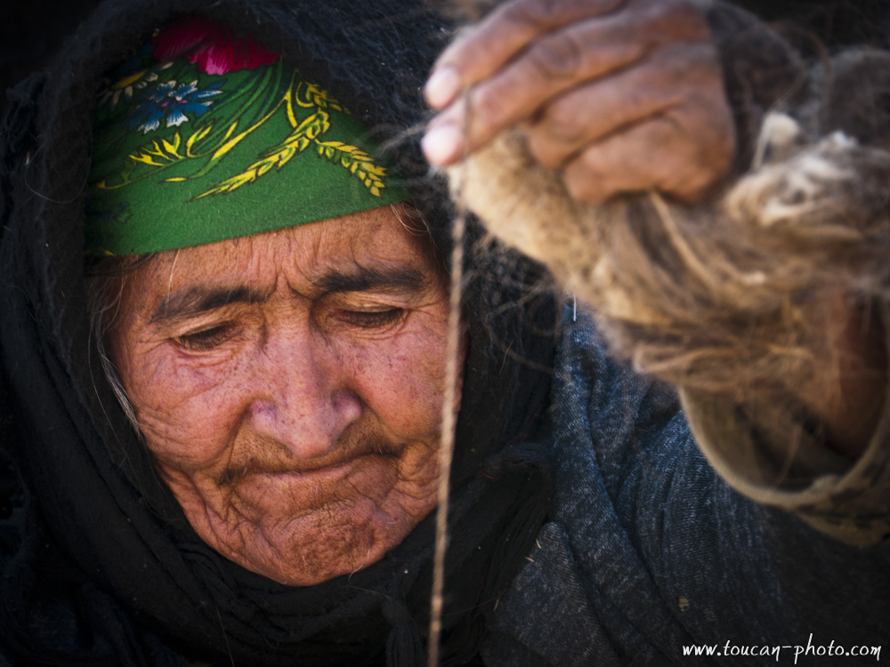 Tadjikistan